It was back along Highway 35 for a trail along the Santa Cruz Mountains. This weekend, I ventured El Corte de Madera Preserve. Just prior to my excursion, I learned that there was fatal plane crash in the mountains. There is a memorial marker before the trail that leads to the debris field. I found it quite spooky to be venturing into what is potentially a graveyard, but I do love hiking trails with historical significance.
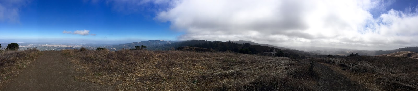
Before getting to the preserve, I had to stop and snap a panorama of Half Moon Bay to the East Bay. There is one section along Skyline where you can get a view of both ocean and bay; usually it's one or the other.

The preserve was about 10 miles from highway 92 through the middle of the mountain range. Once I got to Skeggs parking area, I unloaded my gear and went on my way to the trails.

It was a meandering trail up and down the mountain with endless enclaves of sequoias. Many trees looked like they were straight out of a horror story. The birds hidden within make it creepy as well. But once you reach the peak, it is a gorgeous view of the ocean beyond.

The trail then splits into two different directions. I chose the one leading to Resolution Trail; site of a 1953 plane crash. You can see the damage the accident caused to the mountain. Many trees had been sheered. Some were completely burned. One sequoia tree had been burned at the base, yet it continued to grow to the immense height it is today. As you look closely, you'll find debris spread out. I don't know if all pieces of the plane remain; if they do, they're hidden among the brush. But I did find a few pieces. As I continued along the trail, I felt a bit of a chill and even the most minute sounds spooked me out. I thought I was in a Washington Irving story, especially since I've been teaching his stories this term (we're studying early American ghost stories this quarter). I stopped for a moment of silence and said a prayer to those who perished.
I continued out of the mountain without taking any additional photos. At that point, I became rather pensive about life in general especially after seeing the accident site. It really makes you appreciate the time you have on earth.
This was by far the longest trail I've hiked. It was 7 miles (and I didn't even hike every trail on the mountain) and took me nearly 3 hours to complete. By the end of the hike, I was spent.
Next week, Purisima Creek Redwoods Open Space Preserve.